|
|
|
|
|
|
||||||||||||||||||||||||||||||||||||||||||||||||||||||||||||||||||||||||||||||||||||||||
|
Camping out in the tracks of Wolves
Download the
brochure |
||||||||||||||||||||||||||||||||||||||||||||||||||||||||||||||||||||||||||||||||||||||||||||
|
Tour of 4
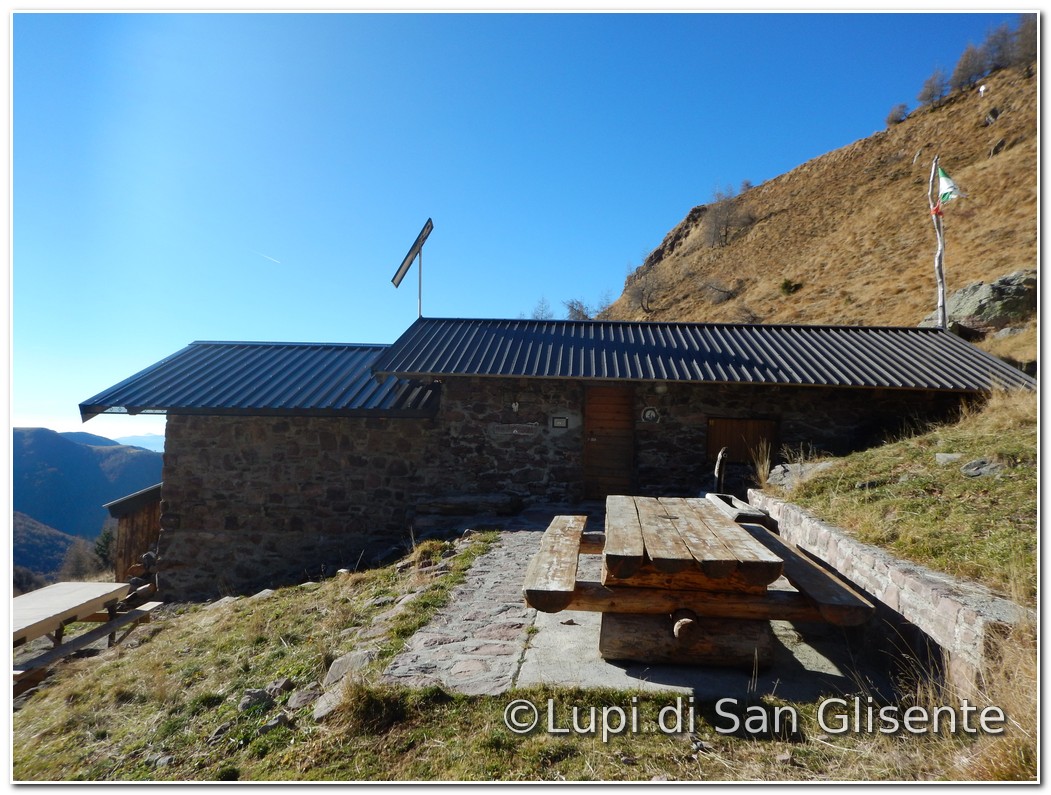
campsites (Baita del Giaol – Bivouac of San Glisente – Bivouac M. Bassi – Bivouac Wolves San Glisente) The area of
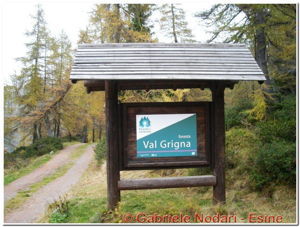
the Paths of the Wolves
is enclosed within the Vasta Valgrigna
(see map), an area
that covers approximately 20,000 hectares straddling the lower Valle Camonica
and upper Val Trompia. These valleys are characterized by mid-mountains and
by a cultural, historical and ethnographic heritage. This mountainous area is
one of the most well-preserved of the whole
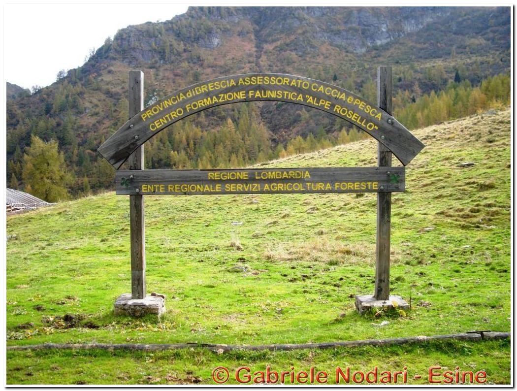
Lombardy Region, at the center of which the so called "Forest of Lombardy Valgrigna" lies. The area covers 2,847
hectares and it encloses the towns of Bienno, Berzo Inferiore, Bovegno ,
Esine and Gianico and it is managed by ERSAF, the
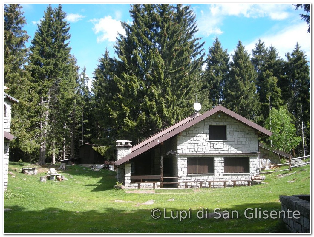
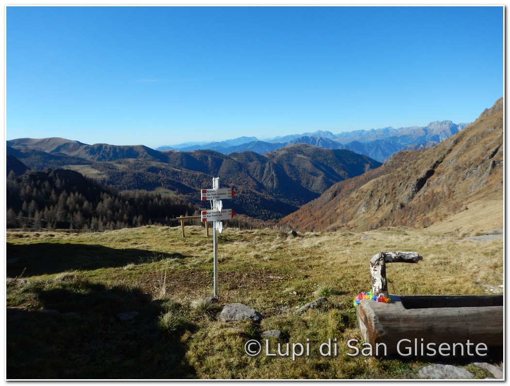
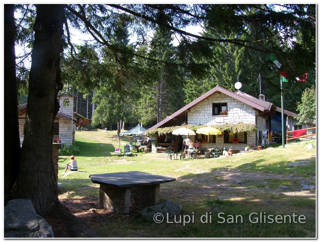
Regional Agency for Services to Agriculture and Forests. Location of camps: The
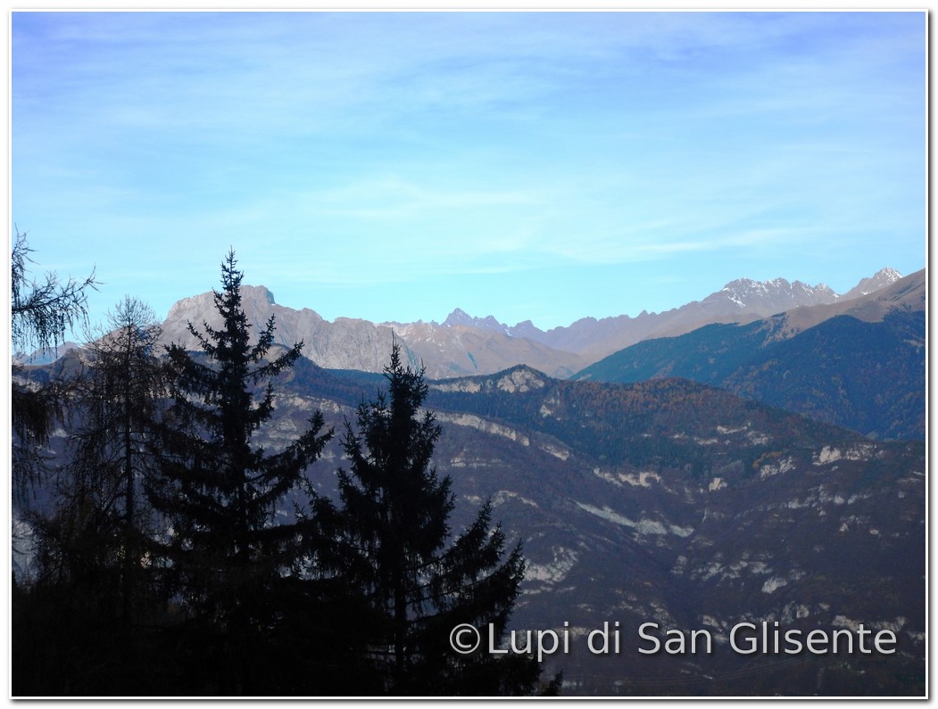
itinerary starts from Rifugio Alpini (1,322 m) in
the locality called Budec. You walk on the path nr. 750
that in some places offers wide scenic views
on Vallecamonica and Val Grigna. After about 50 minutes you will reach the Baita del Giaol (1,465 m), a nice campfire
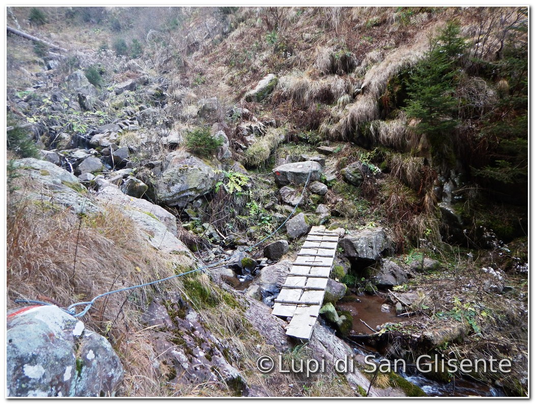
hidden into the woods wood, in an unspoilt area. From
here the trail descends to the Val Càvena, where you have to cross a creek
through a walkway carved from the trunk of a
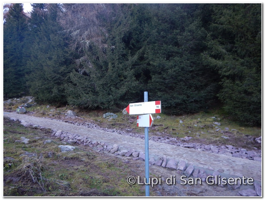
spruce and then up to the junction with the trail
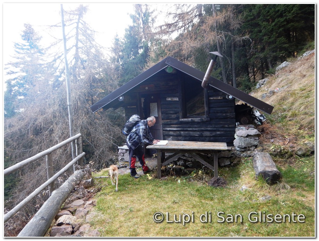
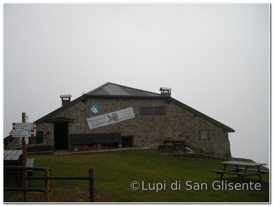
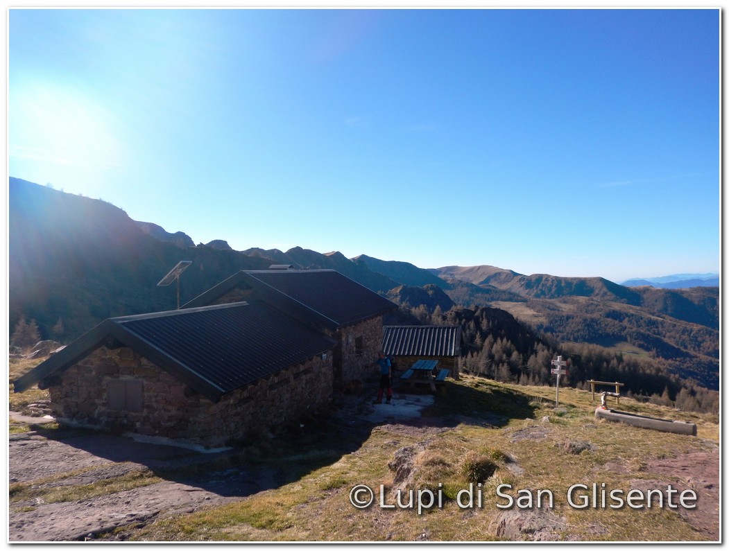
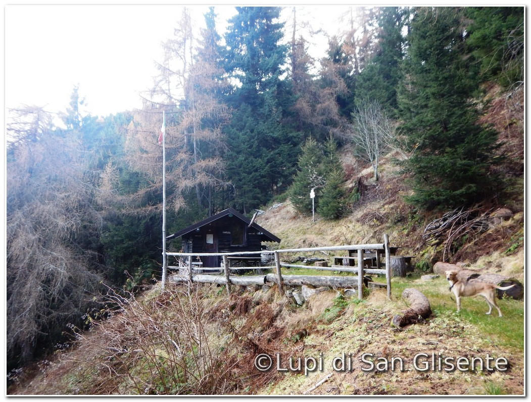
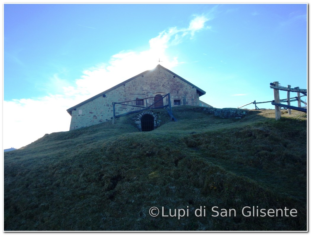
745 that runs to reach the bivouac in San
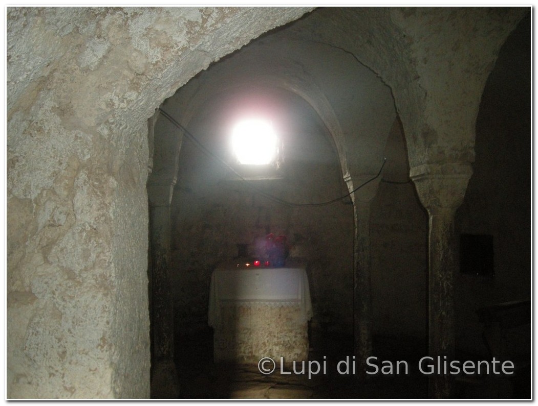
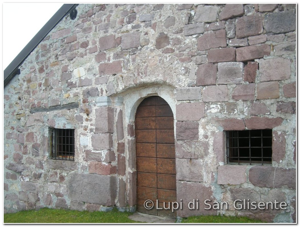
Glisente at an altitude 1,956 (2:40 hours from the start). After
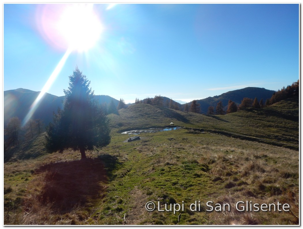
a visit to the crypt behind the camp and in the church dedicated to the hermit, you take
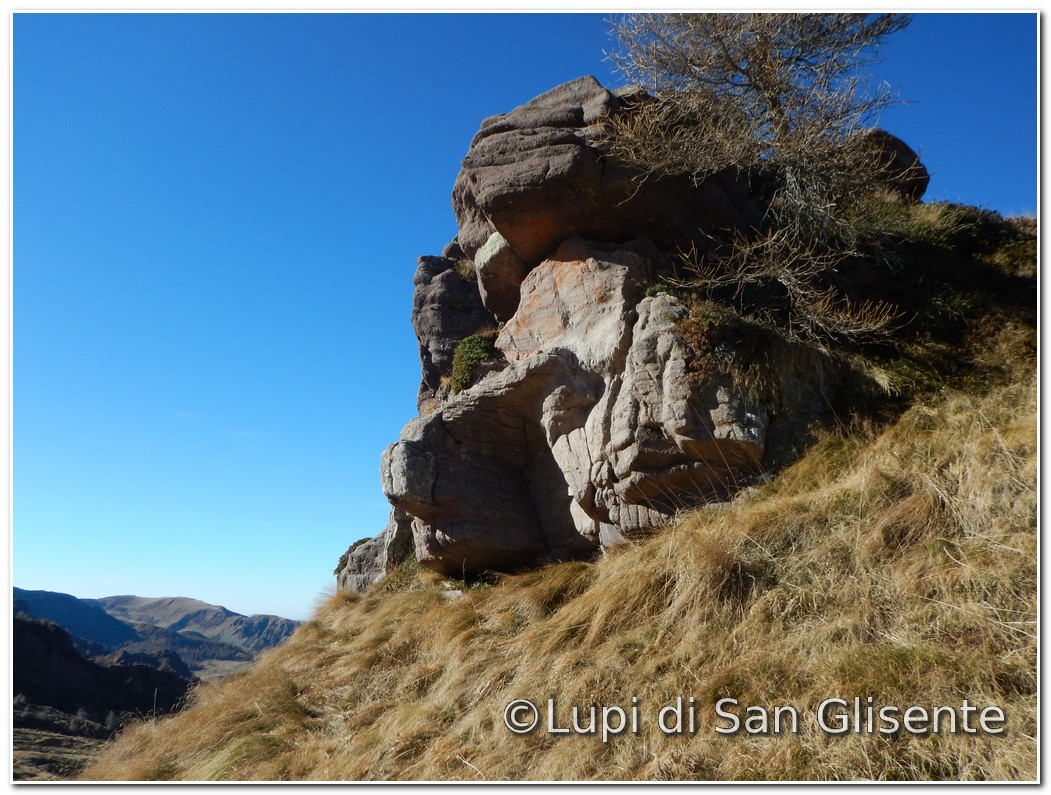
the path nr.760 to reach the 2,151 mt. of The Colma San Glisente, the maximum altitude of
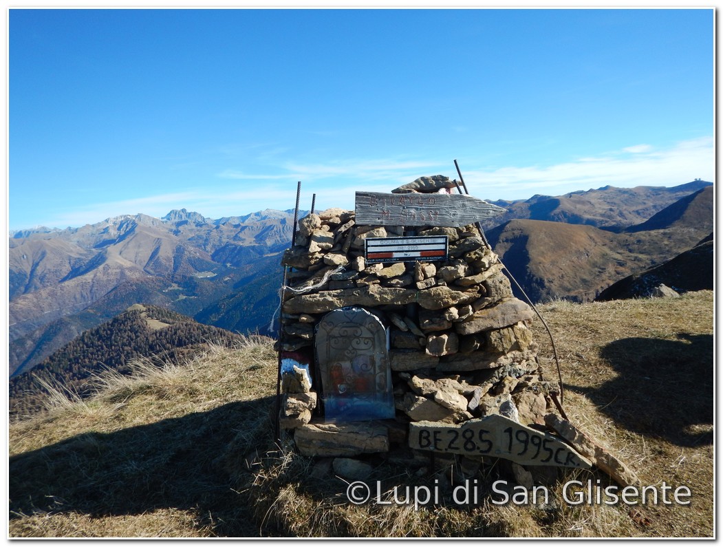
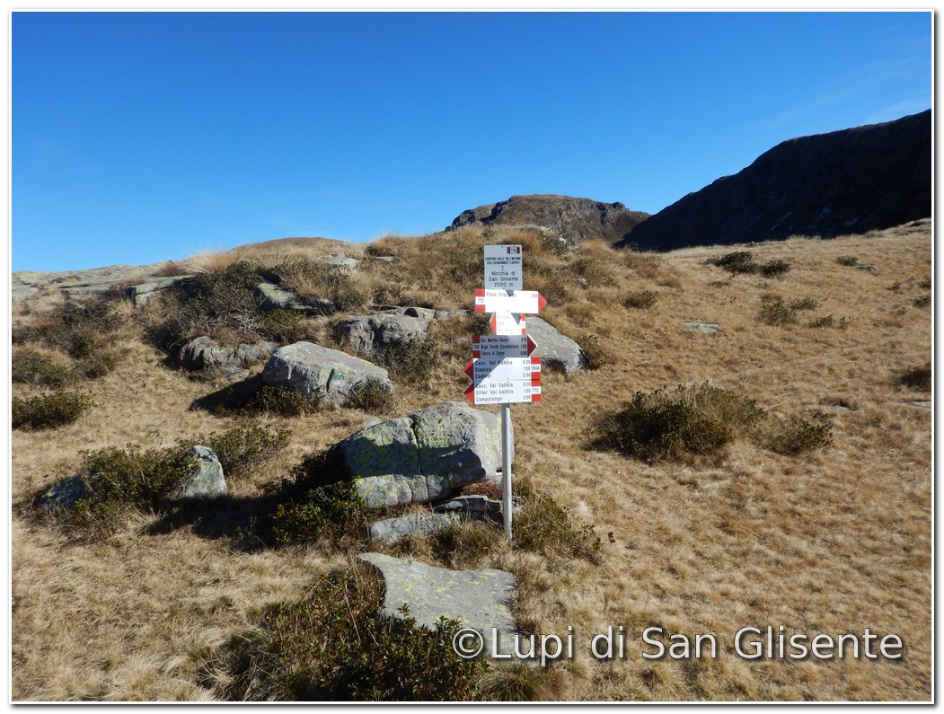
the route. It then continues until the Niche of
San Glisente (2,000 mt.), where the paths
nr.730, 760 and 722 intersect and
finally you take the nr.730 to reach the bivouac Marino Bassi (20.4 hours from the
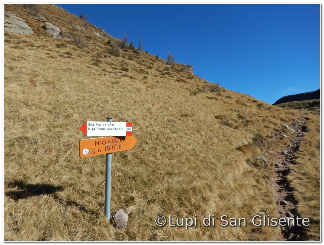
start). Head
up the path nr.730 for 10 minutes until the junction indicating the hut Fop de Cadi,
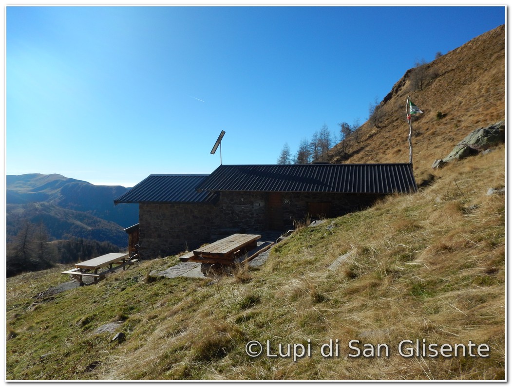
then you walk on the Path nr.740 until you
arrive at the bivouac Wolves San Glisente in
Valle Cadino (5.10 hours from the start). In September, along this path, you
can hear the characteristic "bell
of deers" and even shooting chamois and ungulates, that you can find
in large numbers in the Val di Fra. We
continue on the path nr.740 until the pool of Scandolaro, then on the path nr.735 to the Rifugio Budec,
the end of the route (6.30 hours from the start). See the fotos Download the map
|
||||||||||||||||||||||||||||||||||||||||||||||||||||||||||||||||||||||||||||||||||||||||||||
|
Traduzione di Angela Lazzarini |
||||||||||||||||||||||||||||||||||||||||||||||||||||||||||||||||||||||||||||||||||||||||||||


